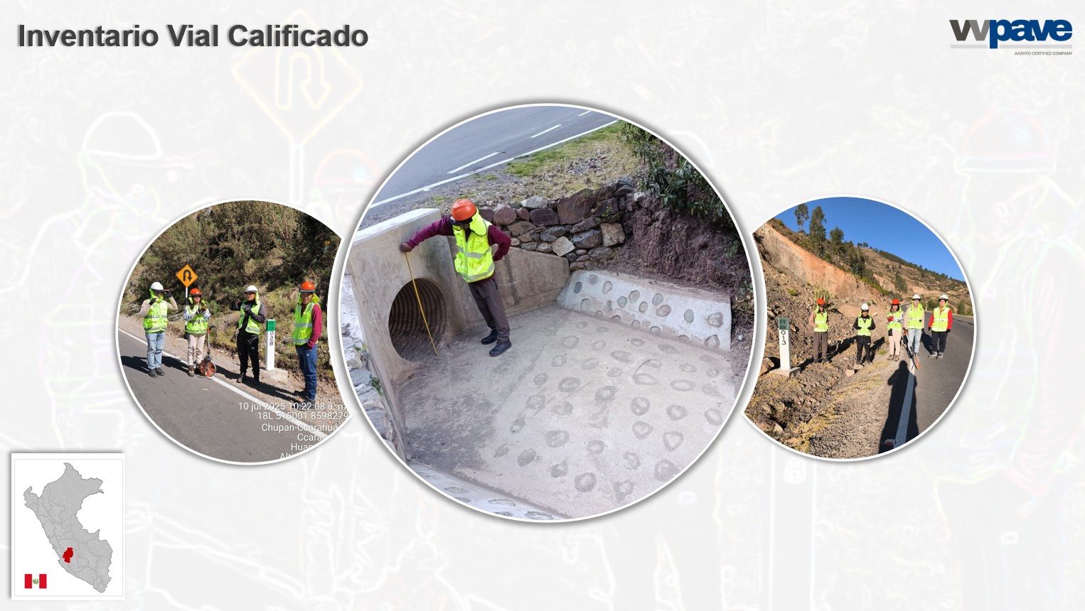
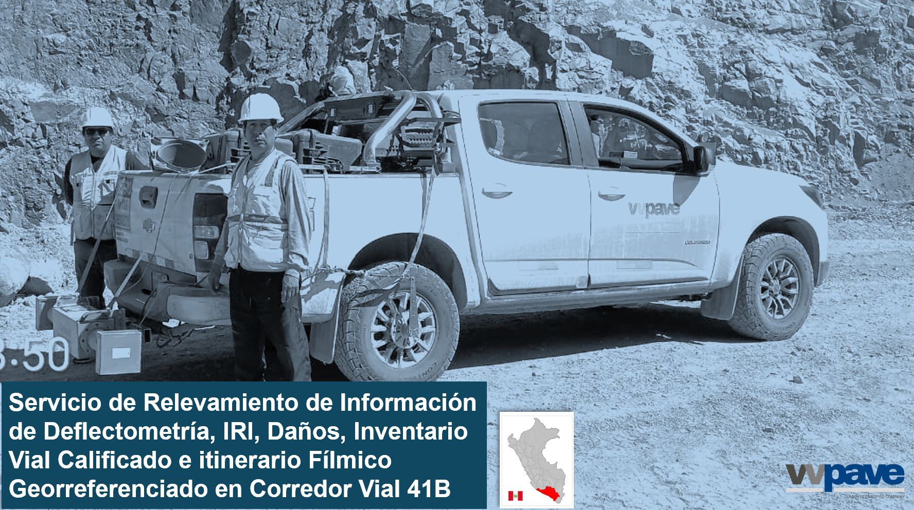
Qualified Road Inventory
Comprehensive Infrastructure Assessment for Efficient Management
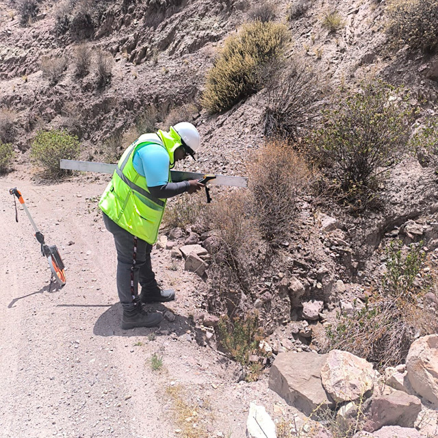
Carry out the comprehensive assessment of road infrastructure elements in accordance with the guidelines of the Road Inventory Manual (MTC), identifying their functional and structural condition.
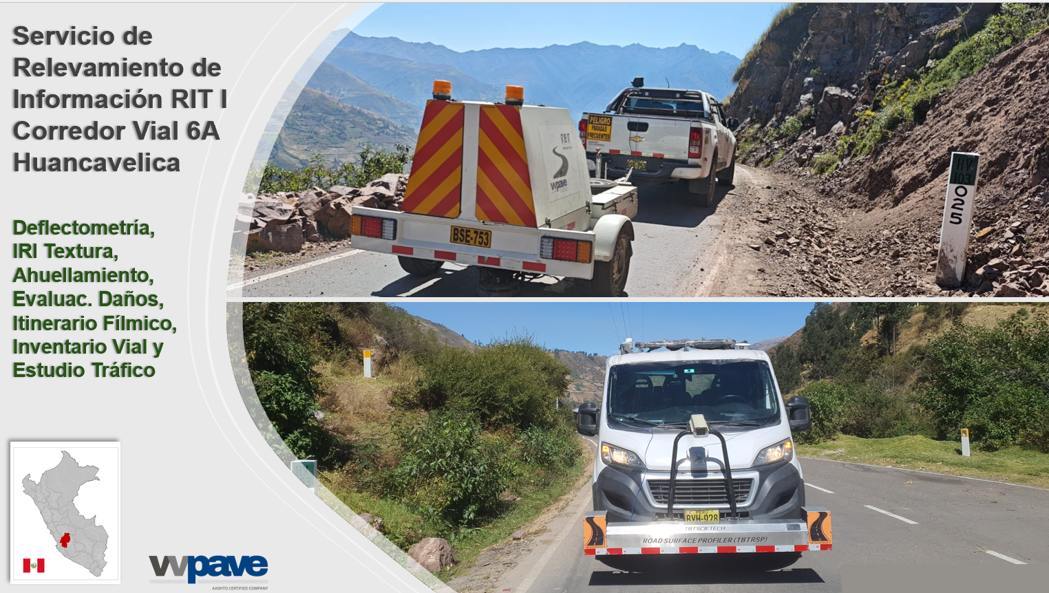
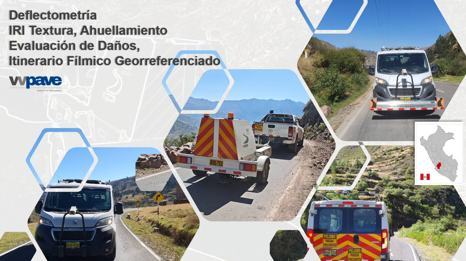
The IVC is a key tool for the efficient management of road corridors. We evaluate:
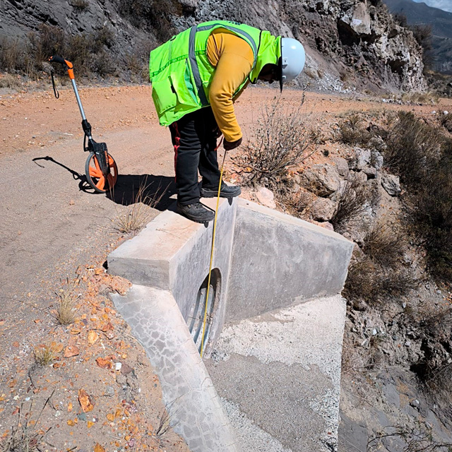
- Drainage and structures (culverts, ditches, fords, walls)
- Vertical and horizontal road signage and safety devices
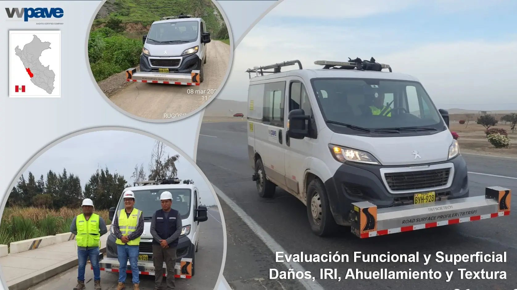
- Pavement functional and structural condition
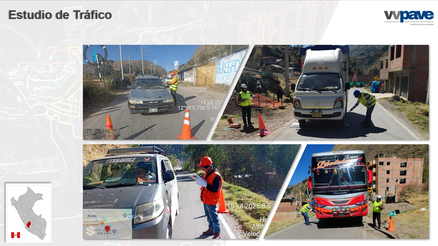
- Critical sections and traffic conditions
The collected data is recorded using georeferenced mobile devices and processed in standardized SIC forms. The result is a reliable baseline for prioritizing investments and making technical decisions.
Qualified Road Inventory
Field Inventory
During this stage, our specialized team carries out:
- Georeferenced survey of physical roadside elements (drainage structures, retaining walls, signage, road safety devices, etc.)
- Recording of technical and functional information in accordance with the MTC Road Inventory Manual
- Photographic image capture with stationing and direction of travel
- Coding and completion of digital SIC forms using mobile devices
- Validation of each element’s functional and structural condition
Qualified Road Inventory
GIS Project
Once the information is collected, we develop the GIS project (ArcGIS or QGIS), ensuring traceability and spatial analysis. This process includes:
- Uploading SIC files into a structured Geodatabase (GDB)
- Visualization of thematic layers for each road segment and element
- Linking photographs to georeferenced points
- Verification of attribute, geometry, and metadata consistency
- Creation of interactive maps and exportable tables
- Adherence to the technical standards required by MTC and Provías Nacional