Georeferenced Video Route
Continuous Visual Recording for Road Management and Evaluation
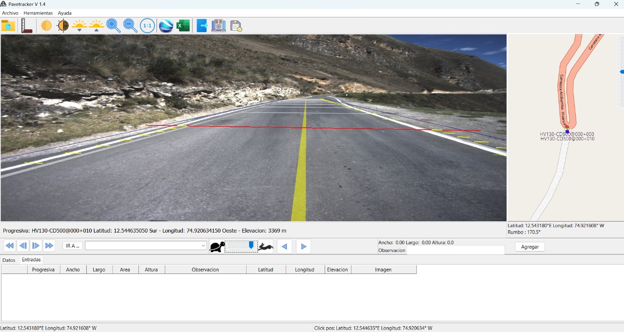
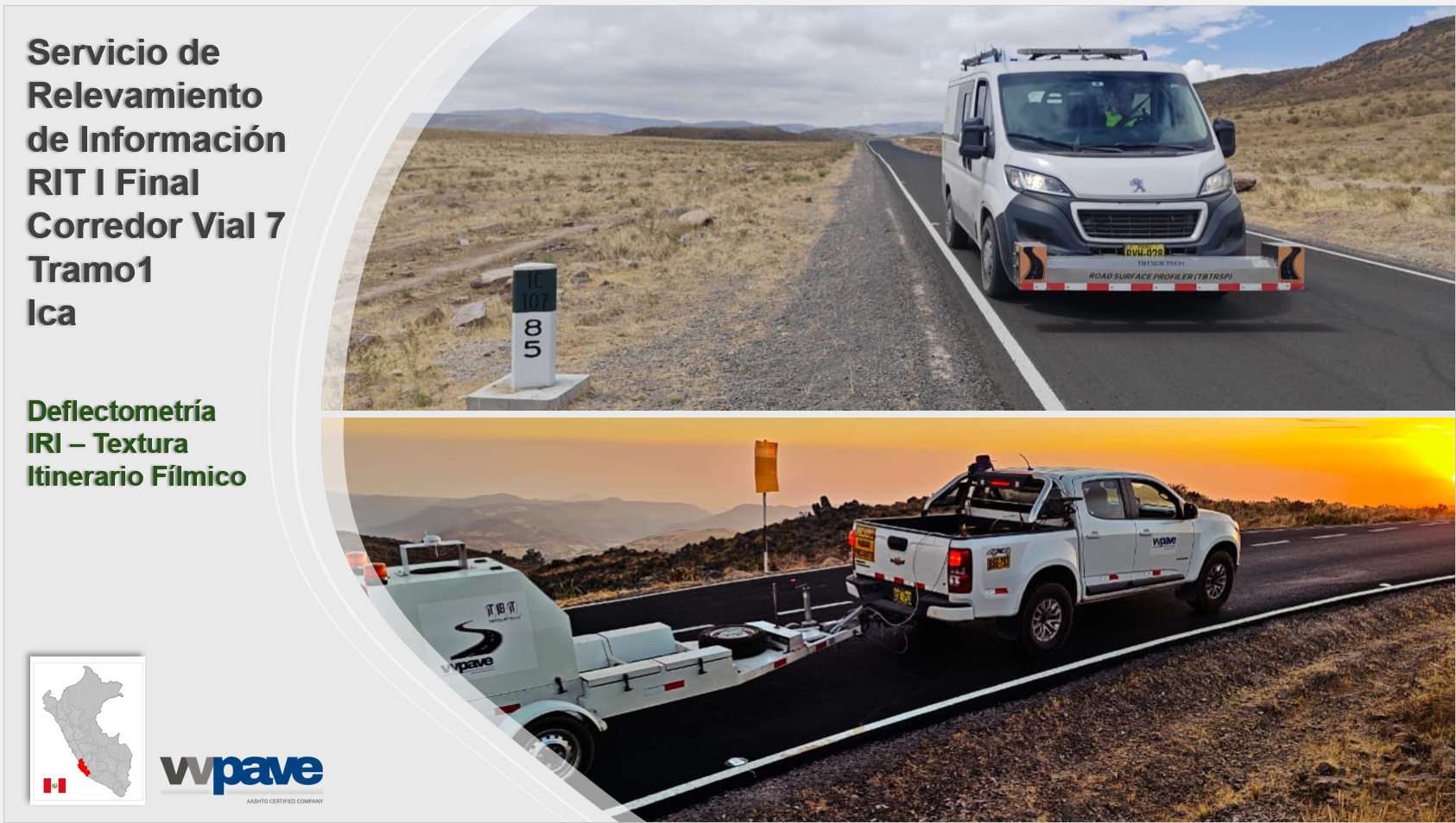
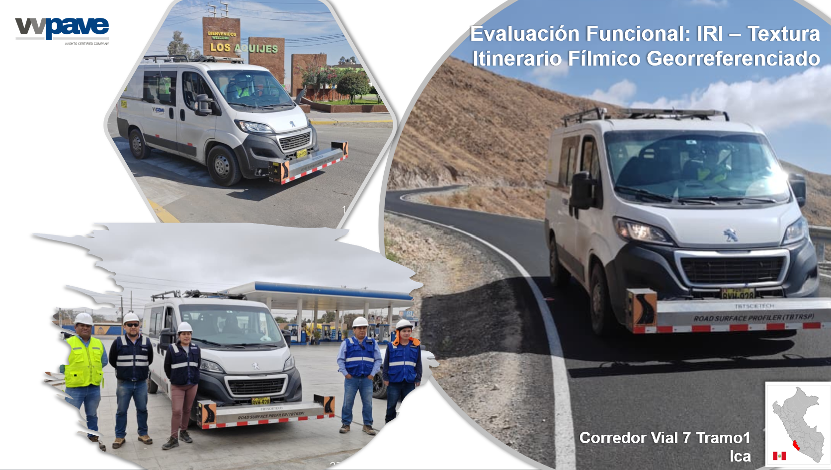
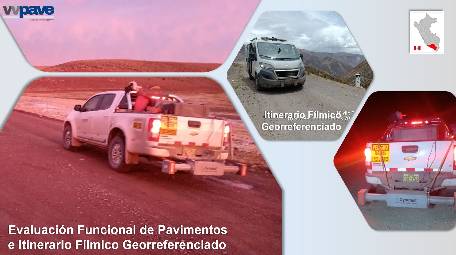
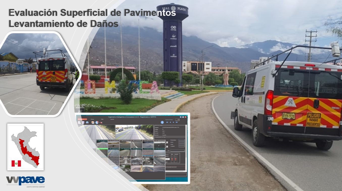
Provide a continuous and georeferenced visual record of the roadway, allowing for a qualitative evaluation of the infrastructure condition and serving as a reference tool for road management.
We capture high-resolution color digital images every 10 meters along the roadway, in both travel directions. This video itinerary allows you to:
- Visualize pavement integrity and right-of-way elements
- Measure on images in horizontal and vertical planes
- Identify critical stationing points and facilitate virtual inspections
- Georeference roadway elements with sub-meter accuracy
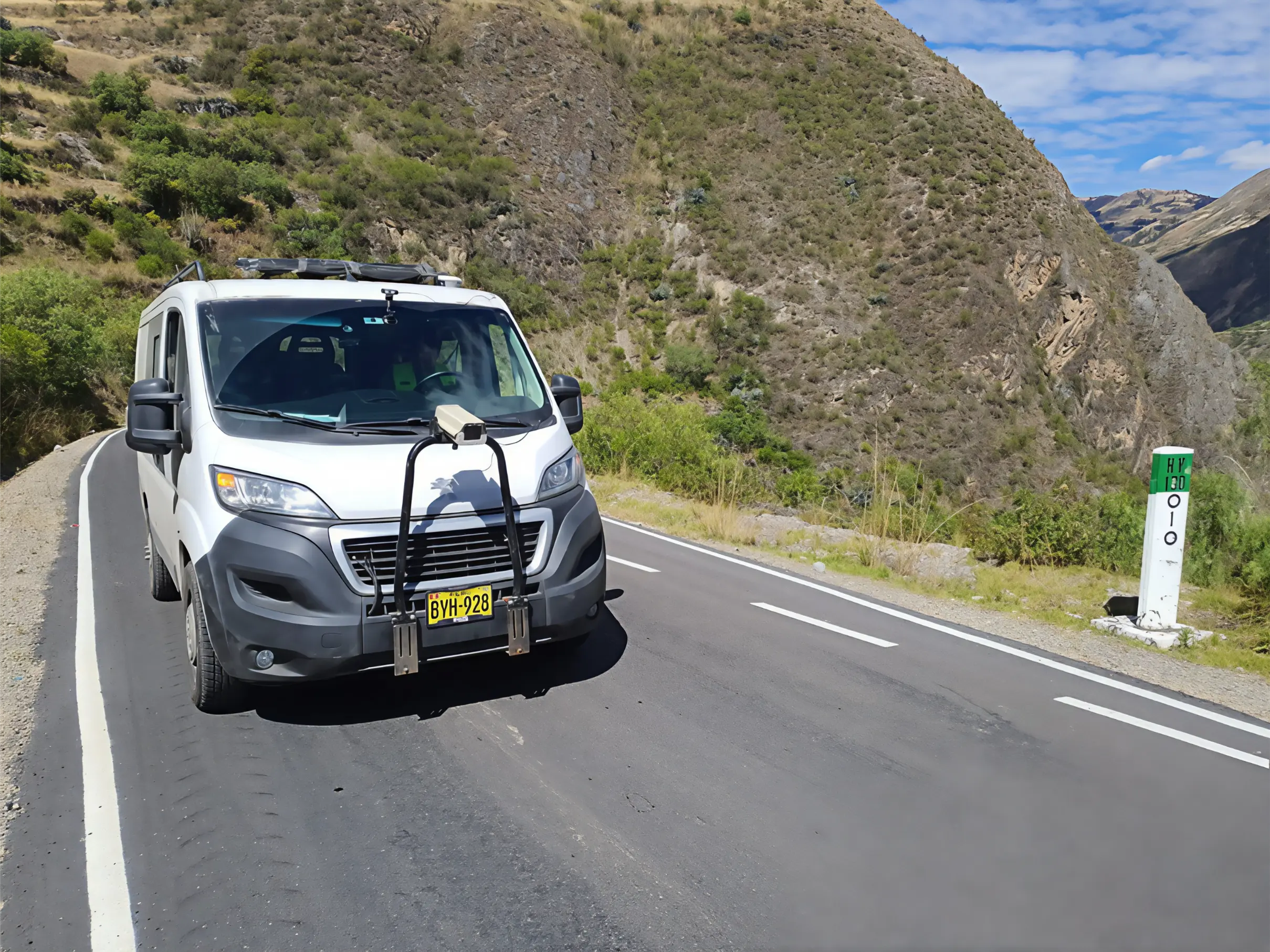
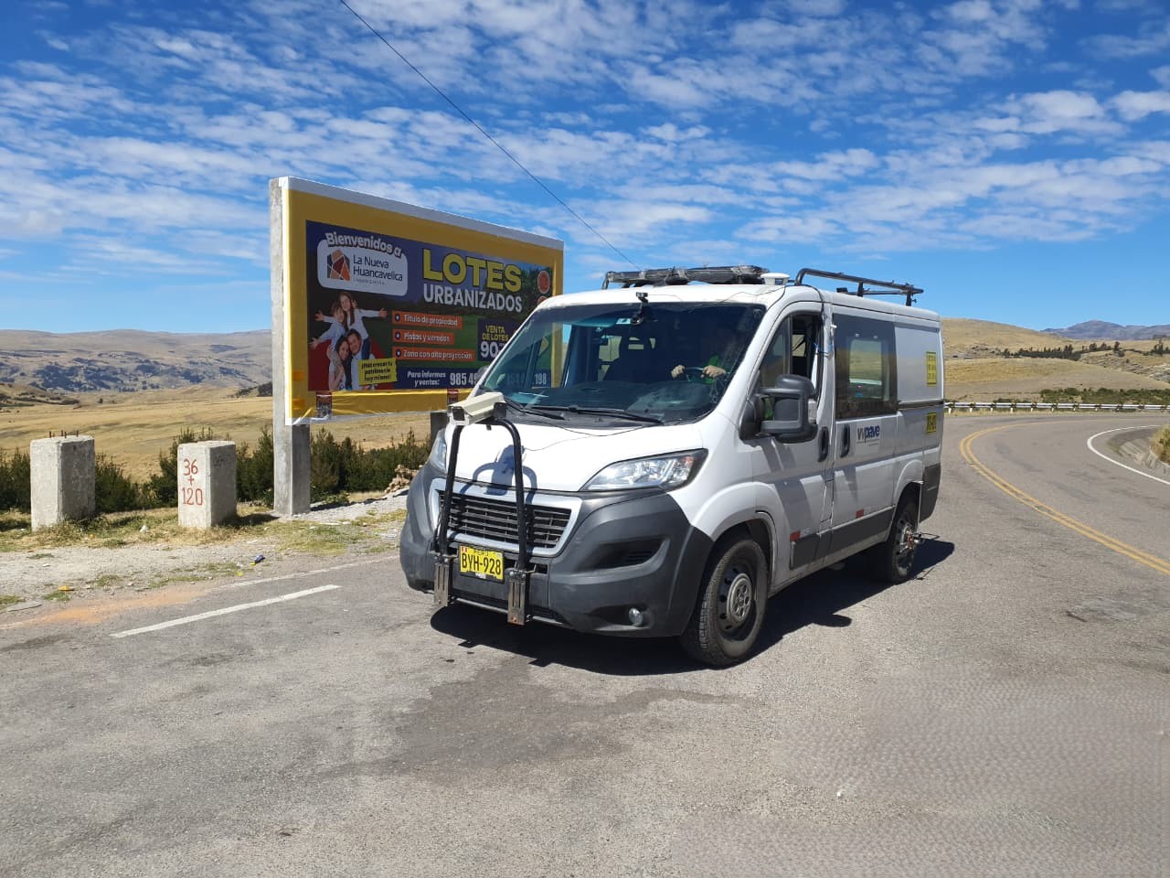
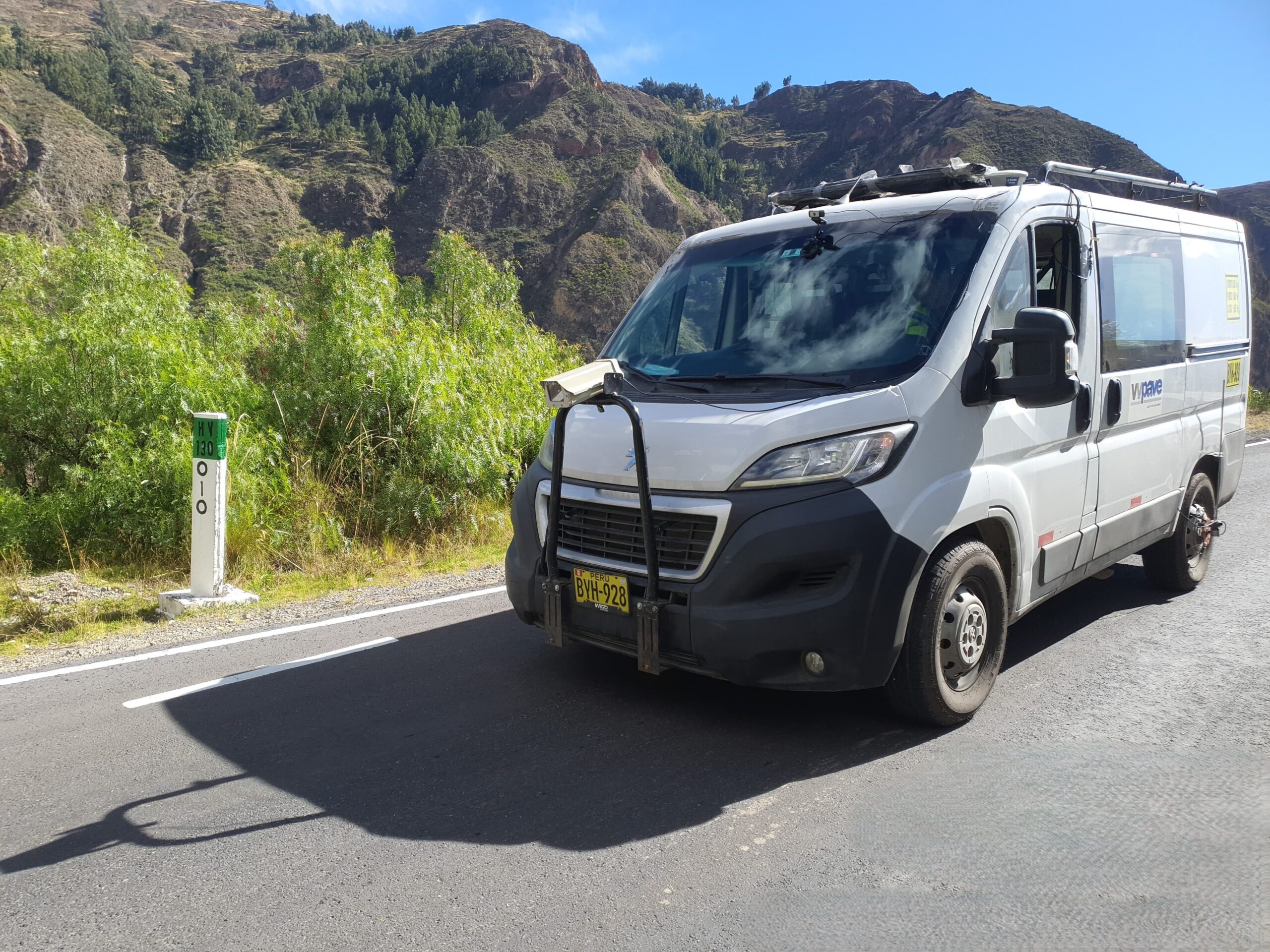
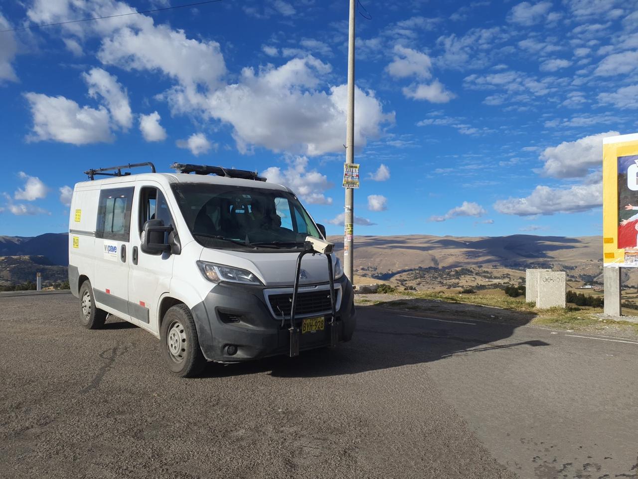
Our system uses vehicles equipped with high-definition cameras, sub-metric GPS, and a precision odometer, synchronized with specialized software (LREC, Pavetracker) that enables professional visualization of the collected records.
Georeferenced Video Route
Field Work
Our team carries out the survey using vehicles equipped with:
- High-resolution cameras with automated capture every 10 meters
- Sub-meter accuracy GNSS receivers
- Digital odometers synchronized with the acquisition system
- Control software for automatic labeling by stationing and direction of travel
Georeferenced Video Route
Delivered product to the client: PaveTracker Viewer
The survey results are delivered through the PaveTracker viewer, a local platform that allows you to:
- View roadway images in sequence, by direction and stationing
- View the geographic coordinates and elevation of each image
- Measure vertical and horizontal elements directly on the image
- Export measurement data to Excel or generate KML files for Google Earth
- Georeference key elements such as signs, structures, distresses, etc.
This viewer is easy to install, does not require an internet connection, and allows the roadway to be managed as if it were being inspected in real time.
